Stage-by-stage route
All ten stages from Theth with distances, times, ascent and descent, plus “what hikers report” notes on the tricky parts.

Self-guided trekking guide · 2026 / 2027 edition
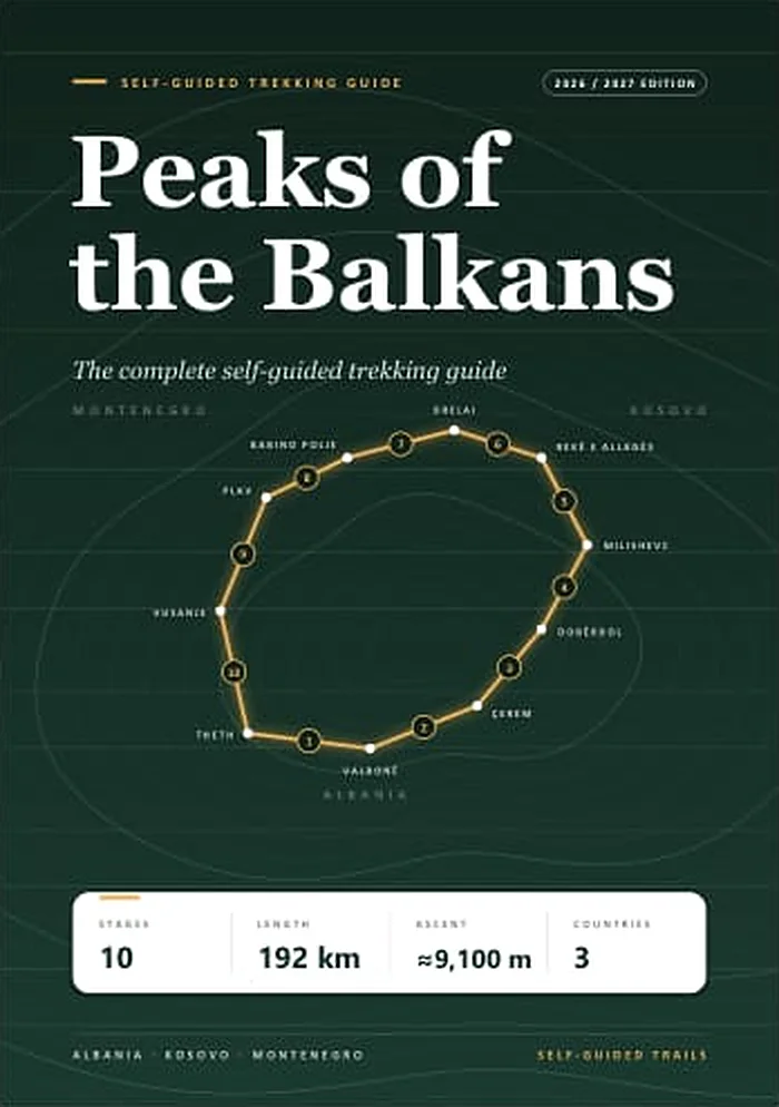
Ten stages, three countries, one 192 km loop through the Accursed Mountains. Routes, stage maps, elevation profiles, border permits, transport and guesthouses: everything you need to plan and walk it without a tour.
4.9★ on Google for our Shkodër basecamp (163 reviews)
~80 pages · stage maps & elevation profiles
8 appendices · checklist, phrasebook, emergency card
What's inside
One guide instead of twenty browser tabs, blog posts and outdated forum threads.
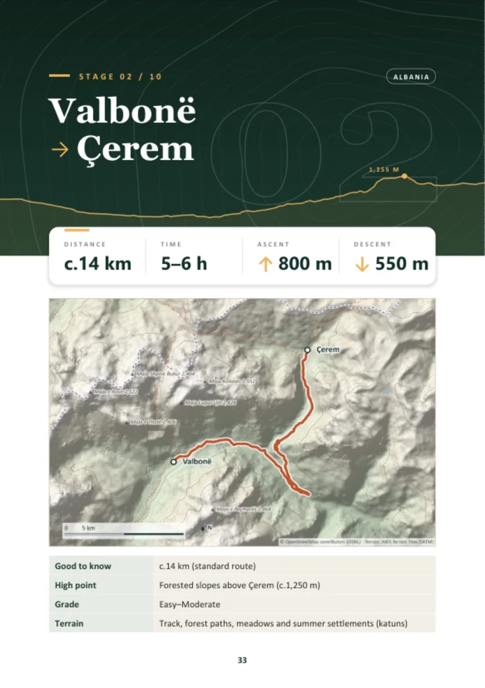
All ten stages from Theth with distances, times, ascent and descent, plus “what hikers report” notes on the tricky parts.
Topographic stage maps with the real trail line and borders, and an elevation profile so you know where the climbs are.
The loop crosses into Kosovo and Montenegro. Which permits you need, what they cost and how to get them in time.
Shkodër, Theth, Valbonë, the Lake Komani ferry, Plav, Gusinje and Vusanje: options and latest timetables.
Guesthouses on every stage, typical prices, cash and ATMs, food and water, phone signal and wi-fi.
Weather, shepherd dogs, wildlife and ticks, navigation, emergency numbers and responsible trekking.
Look inside
The route
The official trail is 192 km. On the standard route you walk about 172 km, because almost everyone takes a transfer for the 13 km road section on stage 7. The guide shows both, plus the high variants and side summits.
Choose your format
€14.99
€19.99
Want both? Add both to your cart and pay once.
Start in Shkodër
Shkodër is the gateway town for Theth and Valbonë. Sort the rest of your trip with us in one stop.
Questions
The 2026 / 2027 edition PDF is in its final checks. Order now and we email you your personal download link as soon as it is released.
Yes. It is a standard PDF that opens on any phone, tablet or computer, and you can zoom into the maps.
It is the same guide printed in black and white, so maps and photos are in greyscale. Pick it up from our smart lockers at Rruga Studenti 10 in Shkodër, open 24/7. You choose your arrival date at checkout, and on the day we send you a link that opens your locker.
This is the 2026 / 2027 edition, compiled from published sources and recent hikers' reports (2024–2026). Trails, timetables and prices change from season to season, so the guide tells you what to double-check before you set off.
Yes. The route crosses the borders of Albania, Kosovo and Montenegro, and you need a border-crossing permit for each country (free, or up to about €25 through an agency). The guide explains how to arrange them.
The PDF is licensed for your personal use: you can keep it on all your devices and print it for yourself. Please don't share it publicly or resell it.
Plan the whole loop tonight, and walk it with confidence.